Geospatial Explorer
Spatial data made explorable.
The challenge
Connect browser maps to raster processing and spatial datasets.
Our contribution
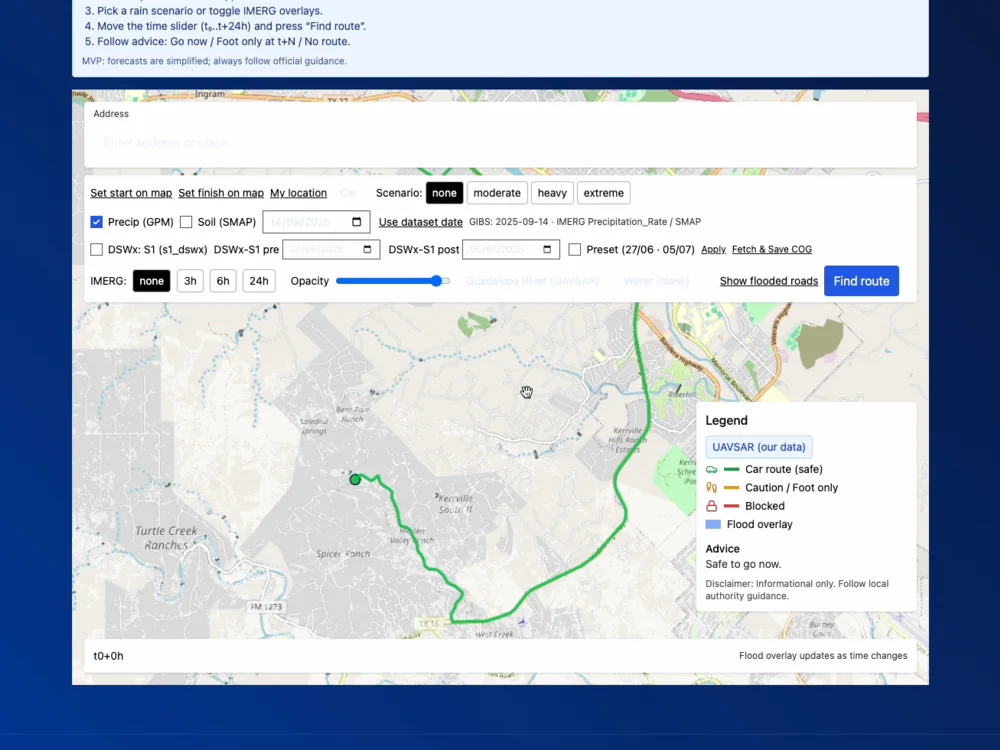
A Next.js map interface with Cesium/MapLibre and Python services, raster delivery and processing-job integrations.
The outcome
An interactive research prototype for inspecting spatial workflows, not an operational forecasting system.